 GTA 6 Map
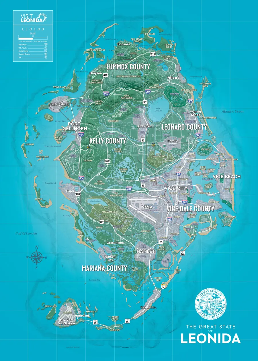
GTA 6 map of Leonida and Vice City
Explore the whole State of Leonida in 2D and 3D. Search 135 named places, drop your own pins, measure distances, and share any view with a link.
What the map does
- 2D and 3D. The official map flat, or draped over terrain with buildings and trees.
- Search. 135 towns, districts, islands, landmarks, and airports.
- Your own pins. 23 categories, with notes, export, and import.
- Markers from screenshots. Line up an in-game map screenshot and click its markers.
- Distances. Measure between any points in miles and kilometres.
- Share links. Every view has its own address.
- Day, sunset, and night. City lights come on after dark.
- Works offline. Install it and keep it on your home screen.
Regions of Leonida
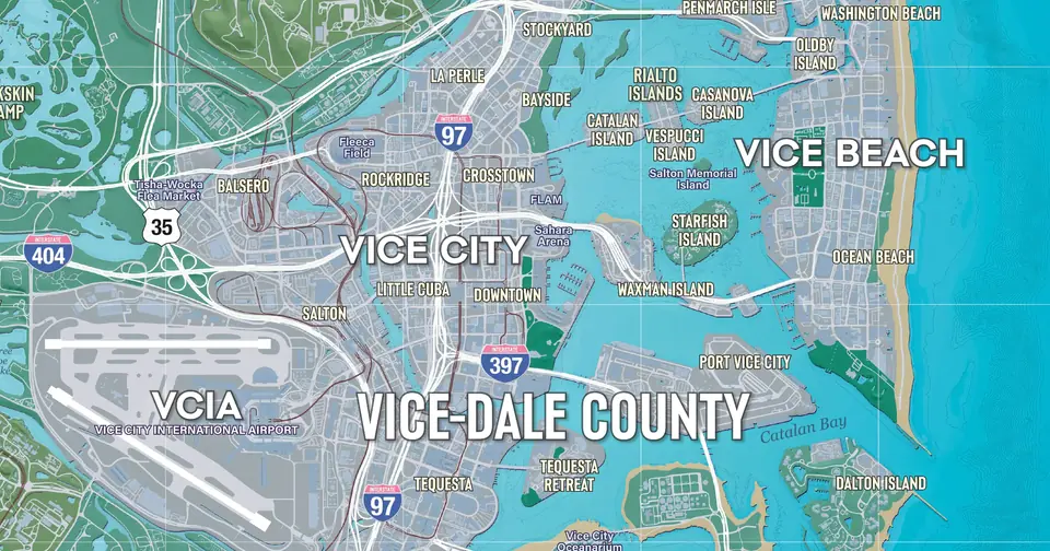 Vice City48 places
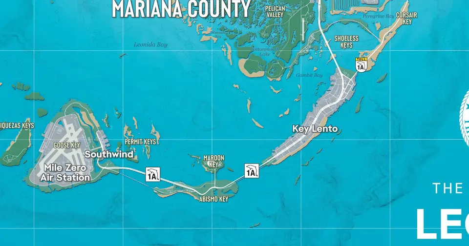 Leonida Keys13 places
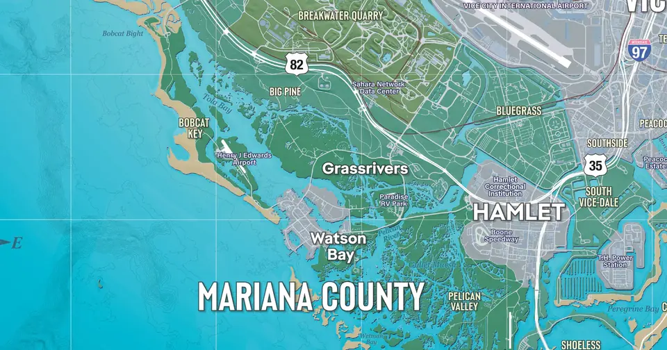 Grassrivers20 places
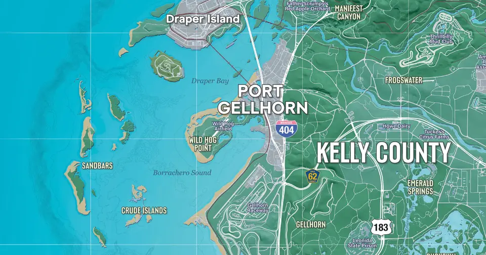 Port Gellhorn13 places
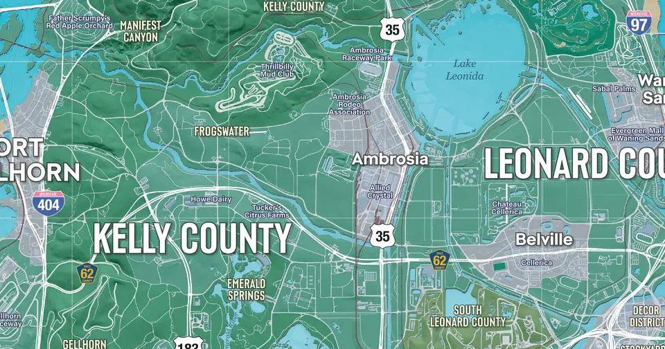 Ambrosia13 places
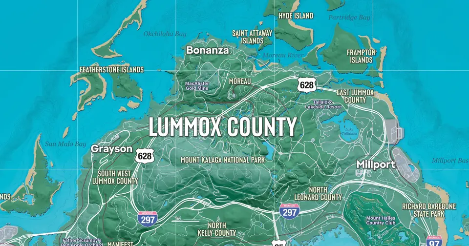 Mount Kalaga16 places
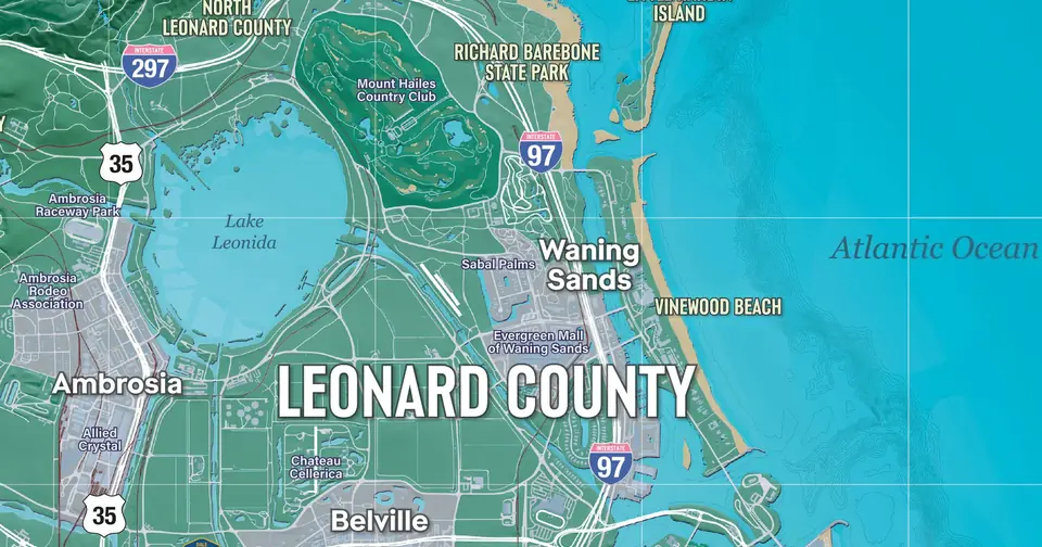 Leonard coast10 places
Popular places
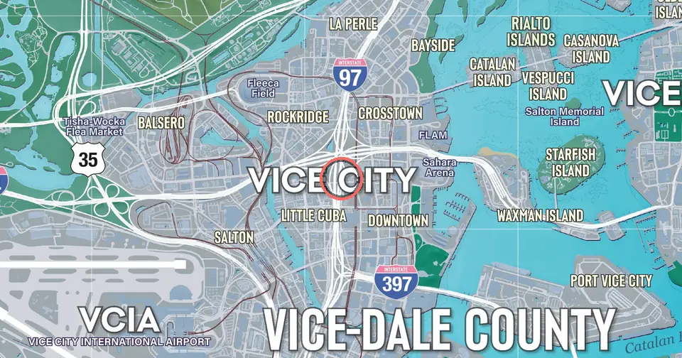 Vice CityCity · Vice City
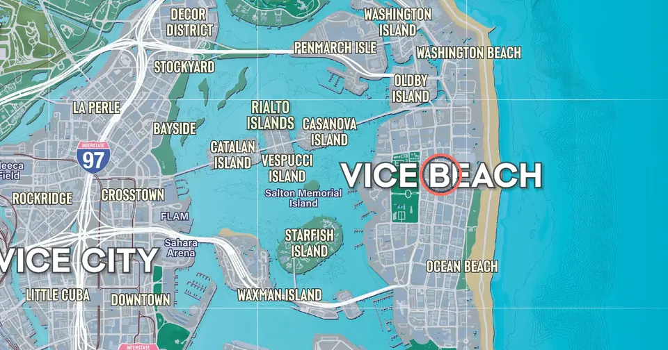 Vice BeachCity · Vice City
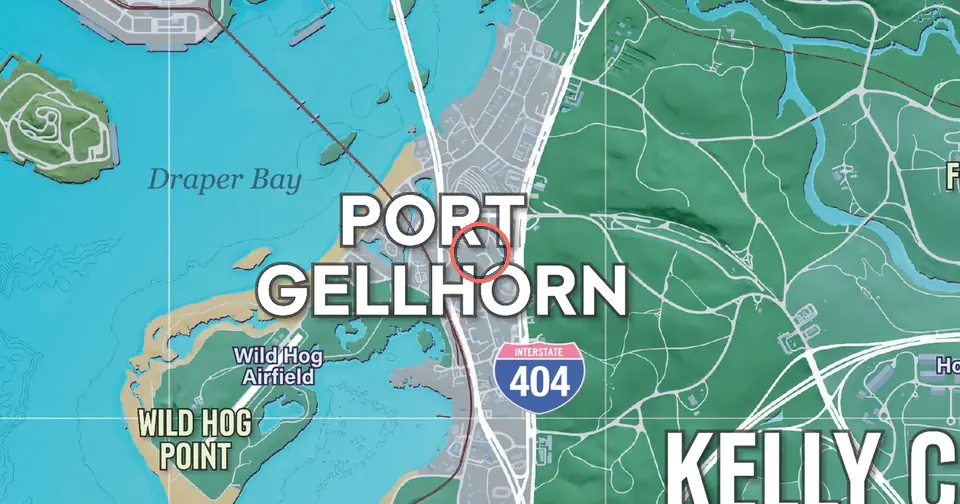 Port GellhornTown · Port Gellhorn
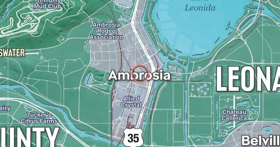 AmbrosiaTown · Ambrosia
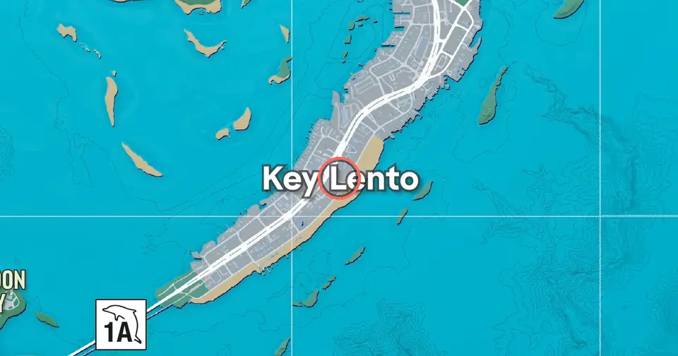 Key LentoTown · Leonida Keys
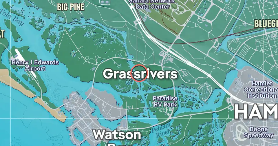 GrassriversTown · Grassrivers
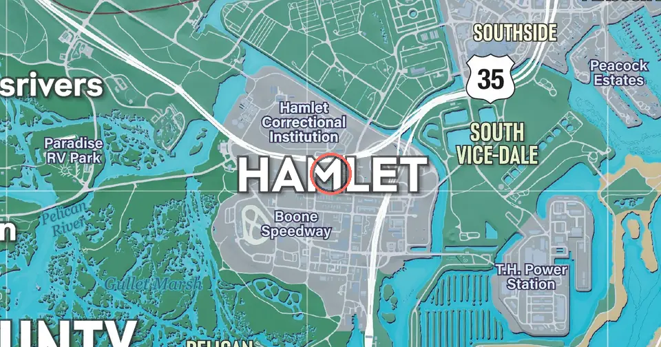 HamletTown · Vice City
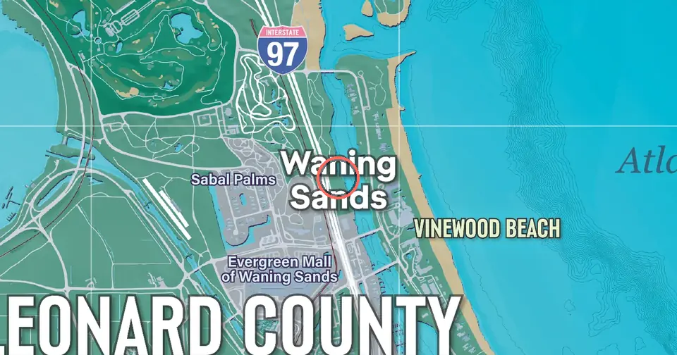 Waning SandsTown · Leonard coast
Questions
Is this the official GTA 6 map?
No. GTA 6 Map is an unofficial fan site. The map image is Rockstar's official poster of Leonida, which Rockstar published when the game launched on 19 November 2026. The 3D view, the search, the pins, and the place pages are this site's own work.
How big is the GTA 6 map?
Rockstar's poster has a scale: one grid cell is one mile, and the grid is 9 cells wide by 13 tall. On that scale the land of Leonida spans roughly 7 miles from west to east and 11 miles from north to south, islands included.
What regions does the map have?
Rockstar names six: Vice City, the Leonida Keys, Grassrivers, Port Gellhorn, Ambrosia, and Mount Kalaga National Park. The poster also prints five county names: Lummox, Kelly, Leonard, Vice-Dale, and Mariana.
Does the map show collectibles, stores, or missions?
Not out of the box. The map ships with the 135 places that the official map names. You add your own pins in 23 categories, either by clicking the map or by lining up a screenshot of the in-game map and clicking its markers.
Can I use it on my phone or offline?
Yes. Open the map and choose Install the app, or use Add to Home Screen on an iPhone. Once installed it opens full screen and keeps working without a connection for the areas you have viewed.
Is the 3D view accurate?
Partly. Place positions and the map surface come from the official map. Terrain height, buildings, and trees are generated from the map's colours, so treat the 3D view as an impression, not a survey.